Digital Land Survey

  • Home
  • Digital Land Survey
Image
Image
Image

Digital Land Survey

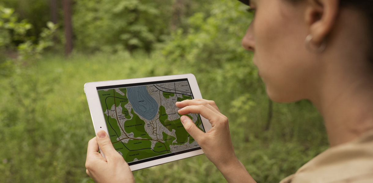
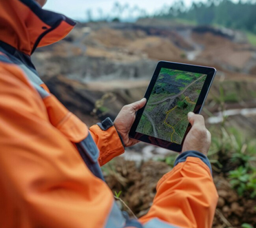
Digital land surveying refers to the use of digital technology, such as GPS (Global Positioning System), GIS (Geographic Information System), and remote sensing, to gather, analyze, and manage spatial data related to the physical features of the land. Traditional land surveying involves physically measuring and mapping the terrain, but digital land surveying streamlines this process by utilizing electronic devices and software.

Key Aspects of Soil Investigation

Data Collection

Digital land surveying starts with the collection of data about the land. This can include using GPS devices to determine precise coordinates of various points on the land, as well as employing remote sensing techniques like aerial photography or LiDAR (Light Detection and Ranging) to gather detailed information about the terrain.

Data Processing

Once the data is collected, it's processed using specialized software. This may involve converting raw GPS data into usable coordinates, stitching together aerial images to create a comprehensive map, or analyzing LiDAR data to generate elevation models.

Map Creation

The processed data is then used to create digital maps of the land. These maps can range from simple representations of boundaries and contours to more complex visualizations that incorporate additional information like land use, infrastructure, and environmental features.

Data Management

Digital land surveying also facilitates the management of spatial data over time. By storing data in digital formats, it becomes easier to update and maintain records, track changes in the landscape, and share information with stakeholders.